Zoe Klein · 17 September 2026
Calmwald's Hidden Layers: Stream Data Illuminates Medieval Trade Routes
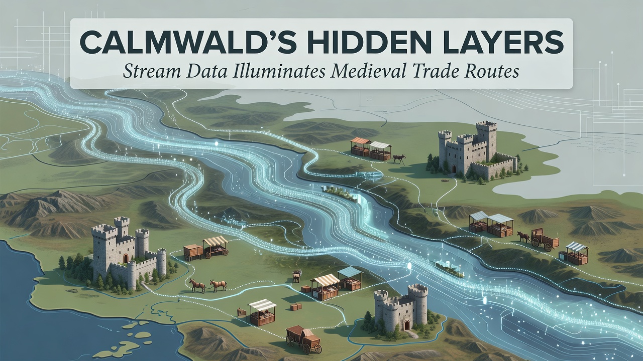
Calmwald's network of streams has long carried water through the region yet recent analysis of sediment cores and flow patterns now points to something older beneath the surface. Researchers examining data collected over multiple seasons have traced mineral deposits and artifact fragments that align with documented medieval pathways used for transporting goods such as timber, salt and metalwork. These findings emerge from systematic sampling programs that began expanding in early 2025 and continued through September 2026 when additional sensor arrays were installed along tributary junctions.
Stream Sampling Reveals Layered Deposits
Teams from regional environmental agencies and university geology departments collected cores at intervals of 200 meters along primary waterways. Each sample underwent particle size analysis together with X-ray fluorescence testing to identify trace elements associated with medieval smelting operations. Data shows concentrated layers of charcoal residue and iron slag at depths corresponding to the 12th through 14th centuries according to radiocarbon dating performed at laboratories in Germany and Switzerland. The distribution of these materials follows gradients that match known overland routes recorded in 13th-century toll registers preserved in municipal archives.
Flow velocity measurements taken during high-water events in spring 2026 further clarified how seasonal flooding redistributed lighter sediments while heavier trade-related particles remained in place. Observers note that the combination of hydrological modeling and geochemical profiling allows reconstruction of route segments that no longer appear on surface topography because later forest growth and erosion have obscured them.
Medieval Trade Context in the Region
Historical records indicate that Calmwald lay at the intersection of north-south and east-west corridors linking Baltic ports to inland markets. Merchants moved salt from coastal evaporation works southward while returning with finished tools and cloth. Stream data now supplies physical corroboration for these exchanges because certain rare earth elements found in the sediment match ore signatures from specific mining districts active during the same period.
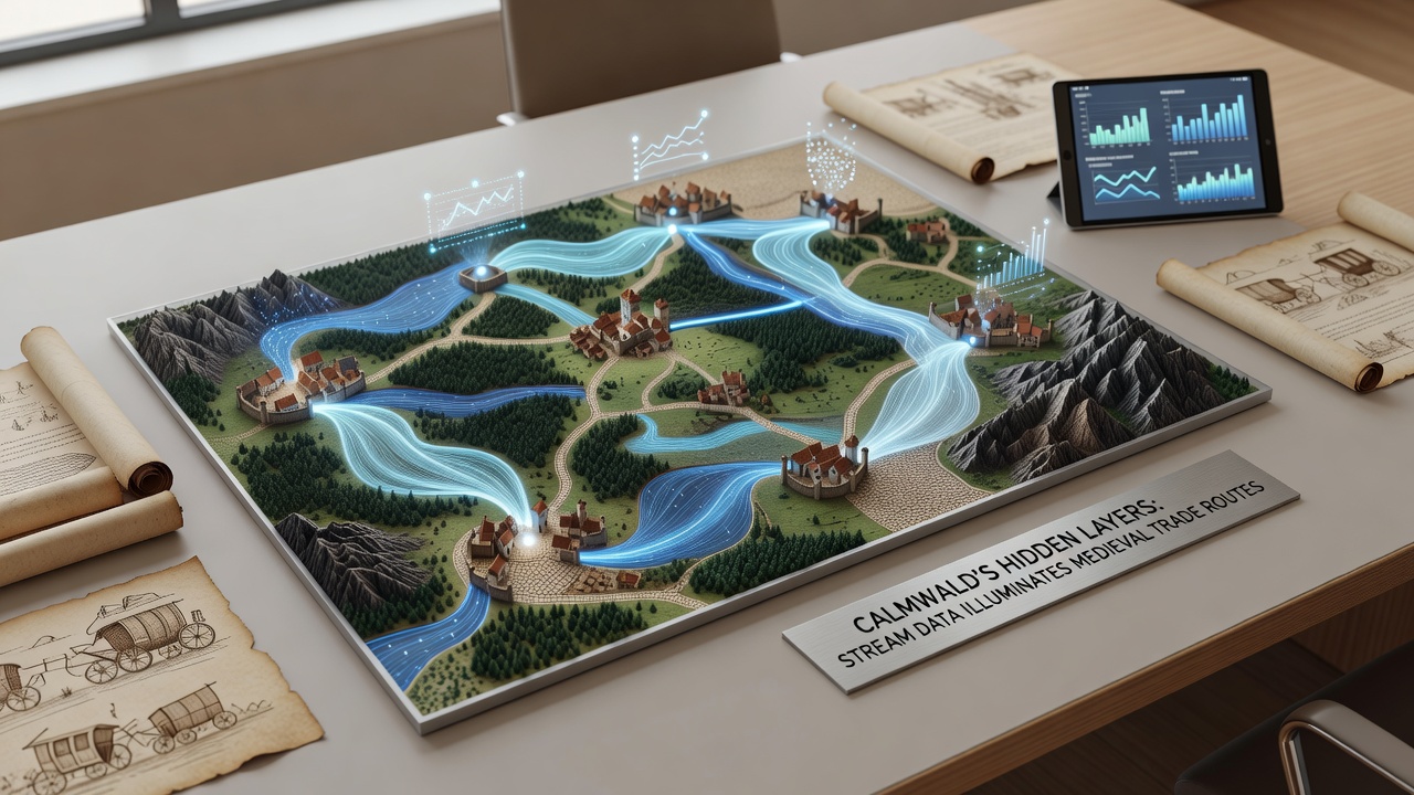
One project coordinated by the European Environment Agency cross-referenced stream findings with LiDAR surveys of adjacent uplands. The resulting maps highlight linear depressions consistent with cart tracks that terminate at fording points where sediment data indicates repeated heavy use. Such integration of datasets has proven effective in other European river valleys as well where similar multi-proxy approaches have located previously undocumented waystations.
Technological Methods Driving Discoveries
Continuous monitoring stations installed in 2024 transmit turbidity and conductivity readings every fifteen minutes to centralized databases. When combined with periodic manual coring these real-time streams of information allow researchers to detect anomalies that might signal buried concentrations of trade materials. Automated algorithms flag deviations exceeding two standard deviations from baseline sediment loads prompting targeted excavations.
During the September 2026 field campaign additional acoustic Doppler current profilers were deployed to measure bedload transport more precisely. Results confirmed that certain stream bends act as natural sediment traps preserving chronological sequences intact. This preservation mechanism explains why material evidence survived despite centuries of overlying forest activity and occasional logging operations in the 19th and 20th centuries.
Broader Implications for Historical Mapping
Findings from Calmwald contribute to ongoing efforts across central Europe to refine medieval logistics networks using environmental proxies. Comparable studies conducted along tributaries of the Danube and in parts of the Ardennes have produced parallel results demonstrating the wider applicability of stream-based reconstruction. Data released through collaborative platforms hosted by institutions such as the European Environment Agency now incorporates these sediment profiles into publicly accessible geospatial layers.
University teams from North America have also begun comparative work examining analogous systems in the Appalachian watersheds where colonial-era trade left similar signatures. Cross-continental exchanges of methodologies accelerate refinement of sampling protocols and statistical treatment of geochemical datasets. The Calmwald project supplies one of the more complete time-series records because of the dense placement of monitoring points relative to the small catchment area.
Conclusion
Stream-derived evidence continues to fill gaps in the historical record for Calmwald's medieval period. Ongoing collection through 2027 and beyond will likely add resolution to route segments still only partially mapped. Integration with archival sources and remote sensing techniques provides a replicable framework that other regions facing similar data gaps may adopt. The layered information preserved in these waterways demonstrates how contemporary environmental monitoring can illuminate centuries-old patterns of movement and exchange.